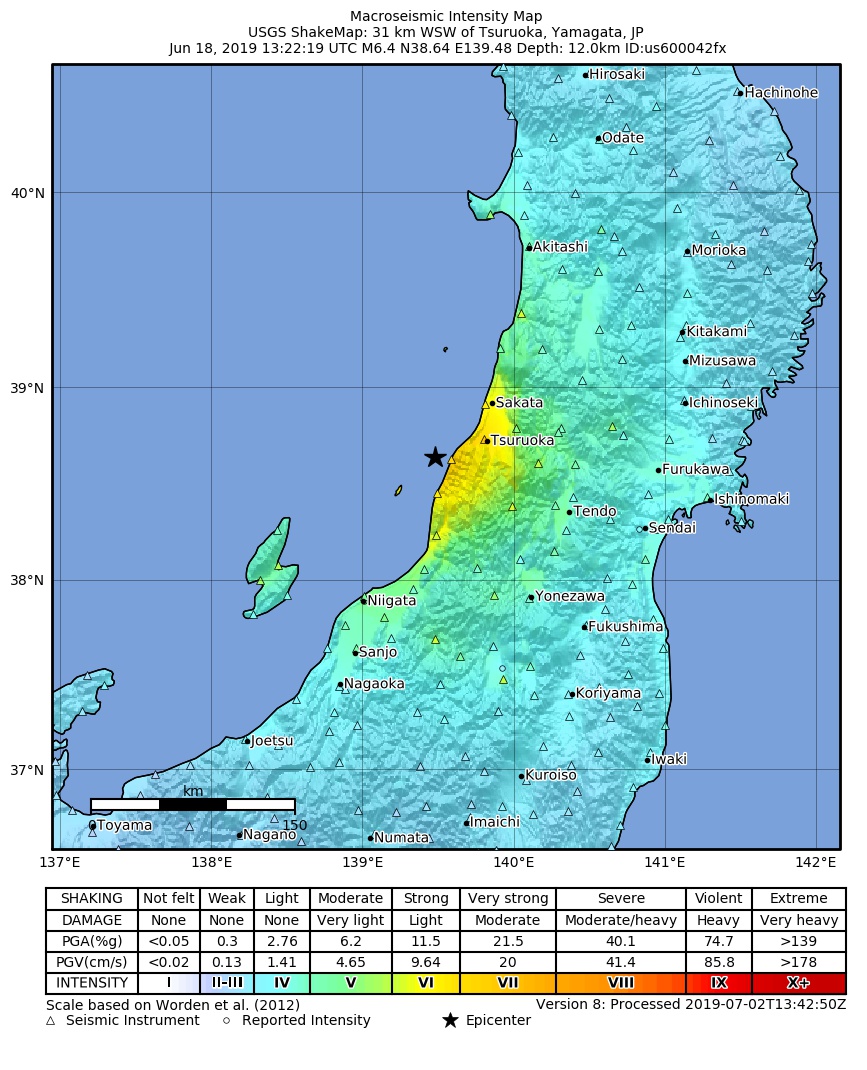
파일:2019-06-18 Tsuruoka, Japan M6.4 earthquake shakemap (USGS).jpg
미리 보기 크기: 486 × 600 픽셀 다른 해상도: 194 × 240 픽셀 | 389 × 480 픽셀 | 867 × 1,070 픽셀
원본 파일 (867 × 1,070 픽셀, 파일 크기: 326 KB, MIME 종류: image/jpeg)
.jpg?uselang=ko)
파일 역사
날짜/시간 링크를 클릭하면 해당 시간의 파일을 볼 수 있습니다.
| 날짜/시간 | 섬네일 | 크기 | 사용자 | 설명 | |
|---|---|---|---|---|---|
| 현재 | 2019년 7월 2일 (화) 23:04 | | 867 × 1,070 (326 KB) | Cewbot | Import USGS updated earthquake map, shakemap id: urn:usgs-product:us:shakemap:us600042fx:1562075153792 (2019-07-02T13:45:53.792Z) |
| 2019년 7월 1일 (월) 01:04 |  | 868 × 1,076 (325 KB) | Cewbot | Import USGS updated earthquake map, shakemap id: urn:usgs-product:us:shakemap:us600042fx:1561903642250 (2019-06-30T14:07:22.250Z) | |
| 2019년 6월 20일 (목) 07:04 |  | 867 × 1,077 (321 KB) | Cewbot | Import USGS updated earthquake map, shakemap id: urn:usgs-product:us:shakemap:us600042fx:1560981196078 (2019-06-19T21:53:16.078Z) | |
| 2019년 6월 19일 (수) 23:03 |  | 867 × 1,077 (321 KB) | Cewbot | Import USGS updated earthquake map, shakemap id: urn:usgs-product:us:shakemap:us600042fx:1560950816364 (2019-06-19T13:26:56.364Z) | |
| 2019년 6월 19일 (수) 03:04 |  | 867 × 1,077 (321 KB) | Cewbot | Import USGS updated earthquake map, shakemap id: urn:usgs-product:us:shakemap:us600042fx:1560880149965 (2019-06-18T17:49:09.965Z) | |
| 2019년 6월 19일 (수) 01:03 |  | 867 × 1,077 (309 KB) | Cewbot | Import USGS updated earthquake map, shakemap id: urn:usgs-product:us:shakemap:us600042fx:1560872106756 (2019-06-18T15:35:06.756Z) | |
| 2019년 6월 18일 (화) 23:03 |  | 868 × 1,079 (303 KB) | Cewbot | Import USGS earthquake map, shakemap id: urn:usgs-product:us:shakemap:us600042fx:1560865629252 (2019-06-18T13:47:09.252Z) |
이 파일을 사용하는 문서
다음 문서 1개가 이 파일을 사용하고 있습니다:
이 파일을 사용하고 있는 모든 위키의 문서 목록
다음 위키에서 이 파일을 사용하고 있습니다:
- en.wiki.x.io에서 이 파일을 사용하고 있는 문서 목록
- fr.wiki.x.io에서 이 파일을 사용하고 있는 문서 목록
- he.wiki.x.io에서 이 파일을 사용하고 있는 문서 목록
- hy.wiki.x.io에서 이 파일을 사용하고 있는 문서 목록
- ja.wiki.x.io에서 이 파일을 사용하고 있는 문서 목록
- vi.wiki.x.io에서 이 파일을 사용하고 있는 문서 목록
- www.wikidata.org에서 이 파일을 사용하고 있는 문서 목록
- zh.wiki.x.io에서 이 파일을 사용하고 있는 문서 목록
.jpg)