파일:North Atlantic Ocean laea location map.svg

SVG 파일의 PNG 형식의 미리보기 크기: 709 × 575 픽셀. 다른 해상도: 296 × 240 픽셀 | 592 × 480 픽셀 | 947 × 768 픽셀 | 1,263 × 1,024 픽셀 | 2,525 × 2,048 픽셀
원본 파일 (SVG 파일, 실제 크기 709 × 575 픽셀, 파일 크기: 290 KB)
파일 설명
| 설명 |
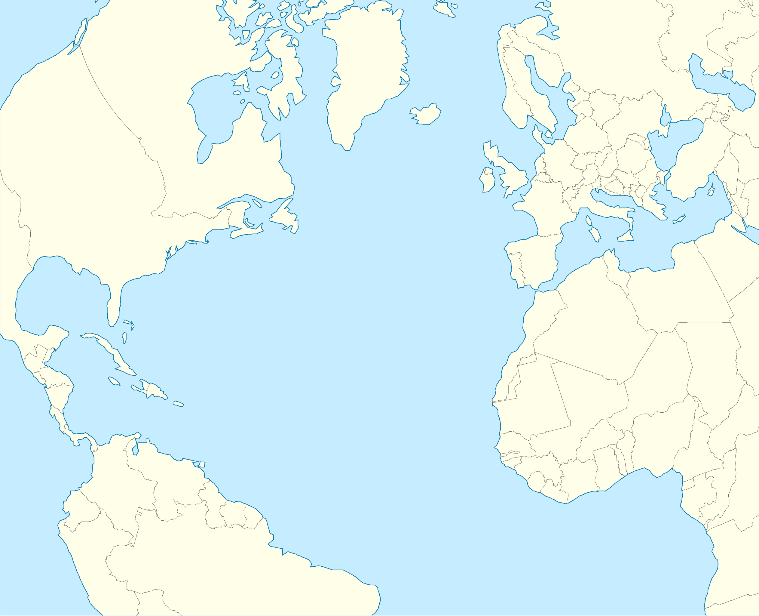
English: Relief location map of Atlantic_Ocean.
|
| 날짜 | |
| 출처 | 자작 |
| 저자 | Tentotwo |
Shell script for generating the map using GMT archive copy at the Wayback Machine
#!/bin/sh

# Set common options
PROJECTION=A-35.0/35.0/180/19.998266666666666c
REGION=-90.20792279565853/-21.091764445478827/71.02192702284165/38.61651360858501r
FILENAME=North_Atlantic_Ocean_laea_location_map.ps

# Get Natural Earth datafiles
echo "Downloading datafiles from naturalearthdata.com"
wget -nv -nc \
 http://www.naturalearthdata.com/http//www.naturalearthdata.com/download/110m/physical/110m-coastline.zip\
 http://www.naturalearthdata.com/http//www.naturalearthdata.com/download/110m/physical/110m-land.zip\
 http://www.naturalearthdata.com/http//www.naturalearthdata.com/download/110m/cultural/110m-admin-0-boundary-lines.zip
echo "...done\n"

echo "Inflating archives"
unzip 110m\*.zip
echo "...done\n"

echo "Converting shapefiles to GMT"
ogr2ogr -F GMT 110m_land.gmt 110m_land.shp
ogr2ogr -F GMT 110m_coastline.gmt 110m_coastline.shp
ogr2ogr -F GMT 110m_borders.gmt 110m_admin_0_boundary_lines_land.shp
echo "...done\n"

echo "Creating maps"
GMT psxy -m -J$PROJECTION -R$REGION --PAGE_COLOR=198/236/255  --POLAR_CAP=none --PAPER_MEDIA=A3  --BASEMAP_TYPE=plain --BASEMAP_AXES=NESW --FRAME_PEN=0.15p,black 110m_land.gmt -K -G254/254/233 > $FILENAME
GMT psxy -m -J$PROJECTION -R$REGION 110m_coastline.gmt -O -K -W0.535p,9/120/171  >> $FILENAME
GMT psxy -m -J$PROJECTION -R$REGION 110m_borders.gmt -O -W100/100/100  >> $FILENAME
echo "...done\n"

echo "You can now open $FILENAME in Inkscape to clean up the file and save it as SVG. You should add an ocean coloured background and simplify the graticules using CTRL+L."

gv $FILENAME
라이선스
나는 아래 작품의 저작권자로서, 이 저작물을 다음과 같은 라이선스로 배포합니다:
이 파일은 크리에이티브 커먼즈 저작자표시-동일조건변경허락 3.0 Unported 라이선스로 배포됩니다.
- 이용자는 다음의 권리를 갖습니다:
- 공유 및 이용 – 저작물의 복제, 배포, 전시, 공연 및 공중송신
- 재창작 – 저작물의 개작, 수정, 2차적저작물 창작
- 다음과 같은 조건을 따라야 합니다:
- 저작자표시 – 적절한 저작자 표시를 제공하고, 라이센스에 대한 링크를 제공하고, 변경사항이 있는지를 표시해야 합니다. 당신은 합리적인 방식으로 표시할 수 있지만, 어떤 방식으로든 사용권 허가자가 당신 또는 당신의 사용을 지지하는 방식으로 표시할 수 없습니다.
- 동일조건변경허락 – 만약 당신이 이 저작물을 리믹스 또는 변형하거나 이 저작물을 기반으로 제작하는 경우, 당신은 당신의 기여물을 원저작물과 동일하거나 호환 가능한 라이선스에 따라 배포하여야 합니다.
파일 역사
날짜/시간 링크를 클릭하면 해당 시간의 파일을 볼 수 있습니다.
| 날짜/시간 | 섬네일 | 크기 | 사용자 | 설명 | |
|---|---|---|---|---|---|
| 현재 | 2012년 2월 1일 (수) 06:20 | | 709 × 575 (290 KB) | Tentotwo | Corrected borders |
| 2012년 1월 31일 (화) 23:25 |  | 709 × 575 (247 KB) | Tentotwo |
이 파일을 사용하는 문서
다음 문서 2개가 이 파일을 사용하고 있습니다:
이 파일을 사용하고 있는 모든 위키의 문서 목록
다음 위키에서 이 파일을 사용하고 있습니다:
- an.wiki.x.io에서 이 파일을 사용하고 있는 문서 목록
- Las Palmas de Gran Canaria
- Santa Cruz de Tenerife
- Funchal
- Praia
- Seu de Funchal
- Calheta (Madeira)
- Câmara de Lobos
- Machico
- Ponta do Sol
- Porto Santo
- Porto Moniz
- Ribeira Brava (Madeira)
- Santa Cruz (Madeira)
- Santana (Madeira)
- São Vicente (Madeira)
- Aeropuerto de Madeira
- Aeropuerto de Porto Santo
- Fortaleza-Palacio de São Lourenço
- Casa d'a Villa de Funchal
- Puent João Gomes
- Mercau dos Lavradores
- Aeropuerto Chuan-Pavlo II
- Fuerte de São José
- Fortaleza de Nossa Senhora da Conceição do Ilhéu
- Fortaleza de São Tiago do Funchal
- Aeropuerto de Lajes
- Aeropuerto d'Horta
- Aeropuerto de Santa María
- Aerodromo de Corvo
- Aeropuerto de Flores
- Aerodromo de Graciosa
- Aeropuerto de Pico
- Aerodromo de São Jorge
- Vila Baleira
- San Cristóbal de La Laguna
- Valverde (El Hierro)
- Granadilla de Abona
- Plantilla:Mapa de localización Oceano Atlantico Norte
- Hamilton (Bermudas)
- ar.wiki.x.io에서 이 파일을 사용하고 있는 문서 목록
- ast.wiki.x.io에서 이 파일을 사용하고 있는 문서 목록
- azb.wiki.x.io에서 이 파일을 사용하고 있는 문서 목록
이 파일의 더 많은 사용 내역을 봅니다.